
Irondale topographic map
Interactive map
Click on the map to display elevation.
About this map
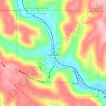
Name: Irondale topographic map, elevation, terrain.
Location: Irondale, Jefferson County, Ohio, United States (40.56114 -80.73888 40.58325 -80.71113)
Average elevation: 308 m
Minimum elevation: 211 m
Maximum elevation: 392 m