
Sidi Akkacha topographic map
Interactive map
Click on the map to display elevation.
About this map
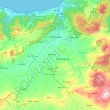
Name: Sidi Akkacha topographic map, elevation, terrain.
Location: Sidi Akkacha, Daïra Ténès, Chlef, 02009, Algérie (36.38176 1.21396 36.48903 1.43567)
Average elevation: 295 m
Minimum elevation: -1 m
Maximum elevation: 942 m
Other topographic maps
Click on a map to view its topography, its elevation and its terrain.
Sidi Abderrahmane
Algérie > Chlef > Daïra Ténès
Sidi Abderrahmane, Daïra Ténès, Chlef, Algérie
Average elevation: 178 m