
Fahrenzhausen topographic map
Interactive map
Click on the map to display elevation.
About this map
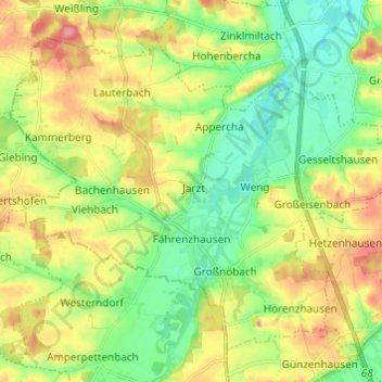
Name: Fahrenzhausen topographic map, elevation, terrain.
Location: Fahrenzhausen, Landkreis Freising, Bayern, 85777, Deutschland (48.32671 11.50387 48.39447 11.62512)
Average elevation: 477 m
Minimum elevation: 442 m
Maximum elevation: 525 m