
Grand Monchau topographic map
Interactive map
Click on the map to display elevation.
About this map
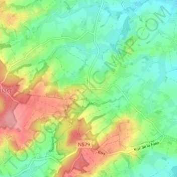
Name: Grand Monchau topographic map, elevation, terrain.
Location: Grand Monchau, Elzele, Aat, Henegouwen, Wallonië, 7890, België (50.68650 3.65941 50.72650 3.69941)
Average elevation: 74 m
Minimum elevation: 34 m
Maximum elevation: 140 m