
Thank you for supporting this site ❤️
Make a donation
Make a donation
Erkner topographic map
Click on the map to display elevation.
Thank you for supporting this site ❤️
Make a donation
Make a donation
About this map
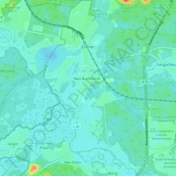
Name: Erkner topographic map, elevation, terrain.
Location: Erkner, Oder-Spree, Brandenburg, Germany (52.38257 13.72281 52.44161 13.79150)
Average elevation: 39 m
Minimum elevation: 30 m
Maximum elevation: 82 m
Thank you for supporting this site ❤️
Make a donation
Make a donation
Other topographic maps
Click on a map to view its topography, its elevation and its terrain.