
浮梁县 topographic map
Interactive map
Click on the map to display elevation.
About this map
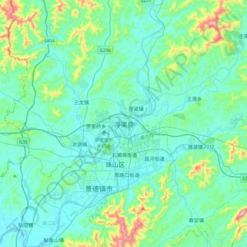
Name: 浮梁县 topographic map, elevation, terrain.
Location: 浮梁县, 景德镇市, 江西省, 中国 (29.19443 117.04992 29.51443 117.36992)
Average elevation: 115 m
Minimum elevation: 15 m
Maximum elevation: 659 m
Other topographic maps
Click on a map to view its topography, its elevation and its terrain.