
Estes topographic map
Interactive map
Click on the map to display elevation.
About this map
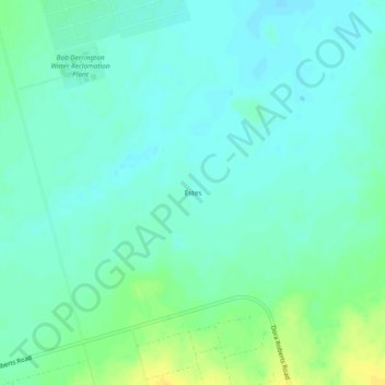
Name: Estes topographic map, elevation, terrain.
Location: Estes, Midland County, Texas, United States (31.78730 -102.26134 31.82730 -102.22134)
Average elevation: 862 m
Minimum elevation: 855 m
Maximum elevation: 878 m
Other topographic maps
Click on a map to view its topography, its elevation and its terrain.
Cotton Flat
United States > Texas > Midland County
Cotton Flat, Midland County, Texas, 79706, United States
Average elevation: 846 m
Warfield
United States > Texas > Midland County
Warfield, Midland County, Texas, 79711, United States
Average elevation: 871 m
Spraberry
United States > Texas > Midland County
Spraberry, Midland County, Texas, United States
Average elevation: 805 m
Midland
United States > Texas > Midland County
Midland, Midland County, Texas, United States
Average elevation: 855 m