
Ferrería de Tula topographic map
Interactive map
Click on the map to display elevation.
About this map
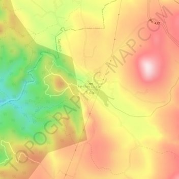
Name: Ferrería de Tula topographic map, elevation, terrain.
Location: Ferrería de Tula, Tapalpa, Jalisco, México (20.04607 -103.74972 20.08607 -103.70972)
Average elevation: 2,365 m
Minimum elevation: 2,130 m
Maximum elevation: 2,539 m
Other topographic maps
Click on a map to view its topography, its elevation and its terrain.