
Praia Fluvial de Milheirós de Poiares topographic map
Interactive map
Click on the map to display elevation.
About this map
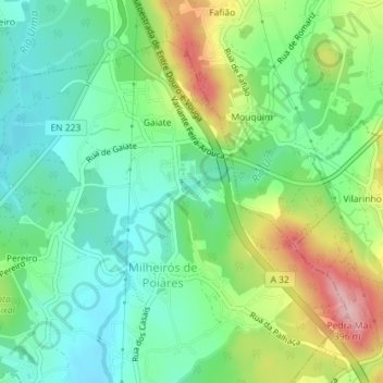
Name: Praia Fluvial de Milheirós de Poiares topographic map, elevation, terrain.
Average elevation: 255 m
Minimum elevation: 195 m
Maximum elevation: 373 m