
Oksfjordjoekelen topographic map
Interactive map
Click on the map to display elevation.
About this map
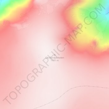
Name: Oksfjordjoekelen topographic map, elevation, terrain.
Location: Oksfjordjoekelen, Loppa, Finnmark, Norway (70.17939 22.06301 70.17949 22.06311)
Average elevation: 1,066 m
Minimum elevation: 475 m
Maximum elevation: 1,202 m
Other topographic maps
Click on a map to view its topography, its elevation and its terrain.
Vetle Skagastølstind
Vetle Skagastølstind, Luster, Sogn og Fjordane, Norway
Average elevation: 1,783 m
Jesus Lever-steinen
Jesus Lever-steinen, Løvstien, Solheims Boretslag, Solheim, Årstad, Gyldenpris, Bergen, Hordaland, 5057, Norway
Average elevation: 100 m