
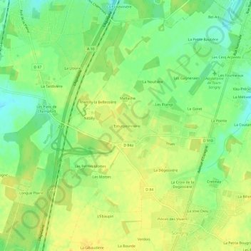
L'Esturgeonnerie topographic map
Interactive map
Click on the map to display elevation.
About this map
Name: L'Esturgeonnerie topographic map, elevation, terrain.
Average elevation: 93 m
Minimum elevation: 79 m
Maximum elevation: 102 m
Other topographic maps
Click on a map to view its topography, its elevation and its terrain.
Parc
France > Centre-Val de Loire > Indre-et-Loire > Sorigny > La Voie Dieu
Parc, Le Château Gaillard, La Voie Dieu, Sorigny, Arrondissement de Tours, Indre-et-Loire, Centre-Val de Loire, France métropolitaine, 37250, France
Average elevation: 97 m
Pièces des Viviers
France > Centre-Val de Loire > Indre-et-Loire > Sorigny
Pièces des Viviers, Sorigny, Tours, Indre-et-Loire, Centre-Val de Loire, France métropolitaine, 37250, France
Average elevation: 97 m
La Simaudière
France > Centre-Val de Loire > Indre-et-Loire > Sorigny > La Simaudière
La Simaudière, Sorigny, Tours, Indre-et-Loire, Centre-Val de Loire, France métropolitaine, 37250, France
Average elevation: 99 m