
Tai Mo Shan topographic map
Interactive map
Click on the map to display elevation.
About this map
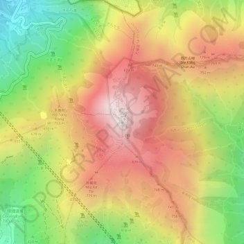
Name: Tai Mo Shan topographic map, elevation, terrain.
Average elevation: 600 m
Minimum elevation: 147 m
Maximum elevation: 949 m
Other topographic maps
Click on a map to view its topography, its elevation and its terrain.
Sham Tseng Village
China > Hong Kong > Tsuen Wan District
Sham Tseng Village, Tsuen Wan District, New Territories, Hong Kong, China
Average elevation: 99 m