
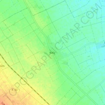
Kelz topographic map
Interactive map
Click on the map to display elevation.
About this map
Name: Kelz topographic map, elevation, terrain.
Location: Kelz, Kreis Düren, Nordrhein-Westfalen, 52391, Deutschland (50.74815 6.57580 50.78815 6.61580)
Average elevation: 141 m
Minimum elevation: 127 m
Maximum elevation: 161 m