
Le Mont Blanc topographic map
Interactive map
Click on the map to display elevation.
About this map
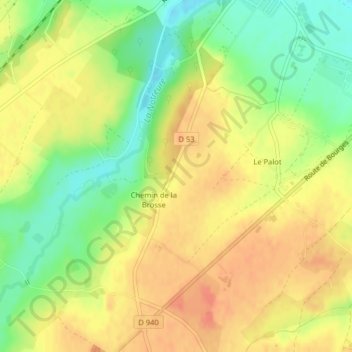
Name: Le Mont Blanc topographic map, elevation, terrain.
Average elevation: 155 m
Minimum elevation: 128 m
Maximum elevation: 175 m
Other topographic maps
Click on a map to view its topography, its elevation and its terrain.
Le Petit Caillou
France > Centre-Val de Loire > Loiret > Poilly-lez-Gien
Le Petit Caillou, Poilly-lez-Gien, Montargis, Loiret, Centre-Val de Loire, France métropolitaine, 45500, France
Average elevation: 138 m