
Sartell topographic map
Interactive map
Click on the map to display elevation.
About this map
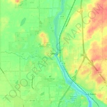
Name: Sartell topographic map, elevation, terrain.
Location: Sartell, Stearns County, Minnesota, 5377, United States (45.58163 -94.24694 45.66163 -94.16694)
Average elevation: 323 m
Minimum elevation: 300 m
Maximum elevation: 349 m