
Thank you for supporting this site ❤️
Make a donation
Make a donation
Hässleberga topographic map
Click on the map to display elevation.
Thank you for supporting this site ❤️
Make a donation
Make a donation
About this map
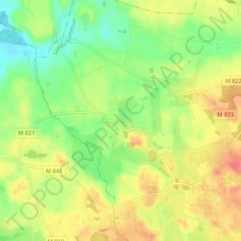
Name: Hässleberga topographic map, elevation, terrain.
Location: Hässleberga, Lund Municipality, Skåne County, 247 99, Sweden (55.57212 13.30065 55.61212 13.34065)
Average elevation: 35 m
Minimum elevation: 8 m
Maximum elevation: 63 m
Thank you for supporting this site ❤️
Make a donation
Make a donation