
Thank you for supporting this site ❤️
Make a donation
Make a donation
Pedanandipadu topographic map
Click on the map to display elevation.
Thank you for supporting this site ❤️
Make a donation
Make a donation
About this map
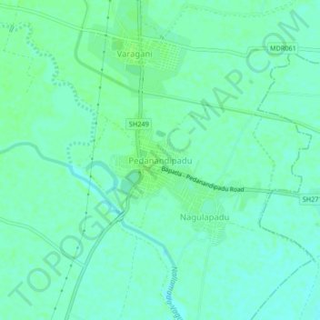
Name: Pedanandipadu topographic map, elevation, terrain.
Location: Pedanandipadu, Guntur, Andhra Pradesh, 522235, India (16.05155 80.31263 16.09155 80.35263)
Average elevation: 13 m
Minimum elevation: 8 m
Maximum elevation: 16 m
Thank you for supporting this site ❤️
Make a donation
Make a donation