
Westfield topographic map
Interactive map
Click on the map to display elevation.
About this map
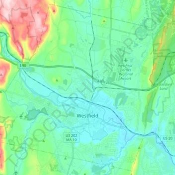
Name: Westfield topographic map, elevation, terrain.
Location: Westfield, Hampden County, Massachusetts, United States (42.08080 -72.85389 42.20047 -72.68489)
Average elevation: 100 m
Minimum elevation: 30 m
Maximum elevation: 359 m
Other topographic maps
Click on a map to view its topography, its elevation and its terrain.