
Kessel topographic map
Interactive map
Click on the map to display elevation.
About this map
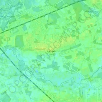
Name: Kessel topographic map, elevation, terrain.
Location: Kessel, Nijlen, Antwerpen, Vlaanderen, 2560, België (51.11837 4.60822 51.15837 4.64822)
Average elevation: 6 m
Minimum elevation: 0 m
Maximum elevation: 12 m