
Stadtlohn topographic map
Interactive map
Click on the map to display elevation.
About this map
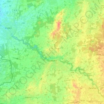
Name: Stadtlohn topographic map, elevation, terrain.
Location: Stadtlohn, Kreis Borken, Noordrijn-Westfalen, 48703, Duitsland (51.96189 6.82843 52.04632 7.05041)
Average elevation: 54 m
Minimum elevation: 35 m
Maximum elevation: 79 m