
Gândara topographic map
Interactive map
Click on the map to display elevation.
About this map
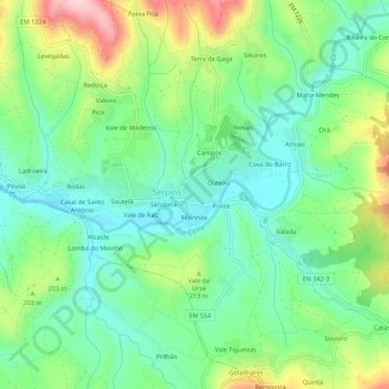
Name: Gândara topographic map, elevation, terrain.
Location: Gândara, Serpins, Lousã, Coimbra, Centro, 3200 358, Portugal (40.13678 -8.22401 40.17678 -8.18401)
Average elevation: 171 m
Minimum elevation: 92 m
Maximum elevation: 333 m