
Sterngucker-Platz Zainigen topographic map
Interactive map
Click on the map to display elevation.
About this map
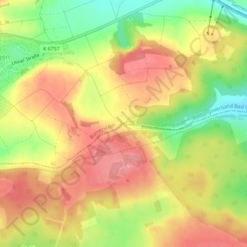
Name: Sterngucker-Platz Zainigen topographic map, elevation, terrain.
Average elevation: 827 m
Minimum elevation: 769 m
Maximum elevation: 869 m