
Hawley Lake topographic map
Interactive map
Click on the map to display elevation.
About this map
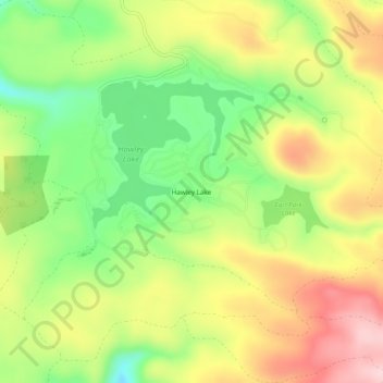
Name: Hawley Lake topographic map, elevation, terrain.
Location: Hawley Lake, Apache County, Arizona, United States (33.96394 -109.76704 34.00394 -109.72704)
Average elevation: 2,538 m
Minimum elevation: 2,426 m
Maximum elevation: 2,660 m