
Thank you for supporting this site ❤️
Make a donation
Make a donation
Molsberg topographic map
Click on the map to display elevation.
Thank you for supporting this site ❤️
Make a donation
Make a donation
About this map
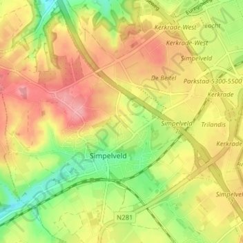
Name: Molsberg topographic map, elevation, terrain.
Location: Molsberg, Simpelveld, Limburg, Nederland, 6369 GP, Nederland (50.82112 5.96625 50.86112 6.00625)
Average elevation: 172 m
Minimum elevation: 121 m
Maximum elevation: 214 m
Thank you for supporting this site ❤️
Make a donation
Make a donation