
Thank you for supporting this site ❤️
Make a donation
Make a donation
Sanghan topographic map
Click on the map to display elevation.
Thank you for supporting this site ❤️
Make a donation
Make a donation
About this map
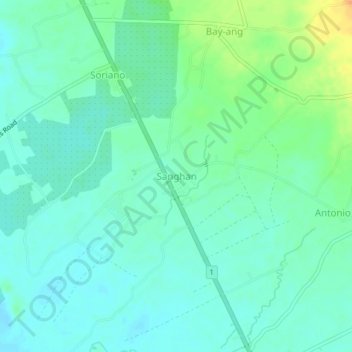
Name: Sanghan topographic map, elevation, terrain.
Location: Sanghan, Agusan del Norte, Caraga, 8611, Philippines (9.06684 125.55242 9.10684 125.59242)
Average elevation: 13 m
Minimum elevation: 3 m
Maximum elevation: 38 m
Thank you for supporting this site ❤️
Make a donation
Make a donation