
Žužemberk topographic map
Interactive map
Click on the map to display elevation.
About this map
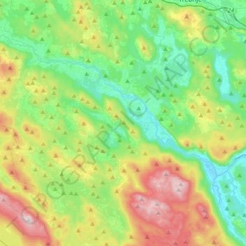
Name: Žužemberk topographic map, elevation, terrain.
Location: Žužemberk, Slovenia (45.74310 14.79883 45.87126 15.08346)
Average elevation: 418 m
Minimum elevation: 168 m
Maximum elevation: 951 m
Other topographic maps
Click on a map to view its topography, its elevation and its terrain.