
官黎坪街道 topographic map
Interactive map
Click on the map to display elevation.
About this map
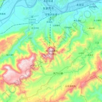
Name: 官黎坪街道 topographic map, elevation, terrain.
Location: 官黎坪街道, Yongding District, Zhangjiajie City, Hunan, PRC (28.96989 110.31909 29.12864 110.50491)
Average elevation: 579 m
Minimum elevation: 147 m
Maximum elevation: 1,485 m