
Penwell topographic map
Interactive map
Click on the map to display elevation.
About this map
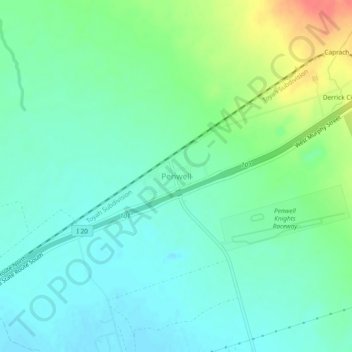
Name: Penwell topographic map, elevation, terrain.
Location: Penwell, Ector County, Texas, 79776, United States (31.71923 -102.61166 31.75923 -102.57166)
Average elevation: 899 m
Minimum elevation: 883 m
Maximum elevation: 939 m
Other topographic maps
Click on a map to view its topography, its elevation and its terrain.
West Odessa
United States > Texas > Ector County
West Odessa, Ector County, Texas, United States
Average elevation: 913 m
Gardendale
United States > Texas > Ector County
Gardendale, Ector County, Texas, 79758, United States
Average elevation: 899 m
The Vistas
United States > Texas > Ector County > Odessa
The Vistas, Odessa, Ector County, Texas, 79765, United States
Average elevation: 882 m
Odessa
United States > Texas > Ector County
Odessa, Ector County, Texas, United States
Average elevation: 894 m