
Tonawanda topographic map
Interactive map
Click on the map to display elevation.
About this map
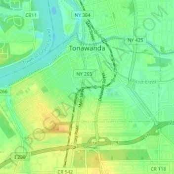
Name: Tonawanda topographic map, elevation, terrain.
Location: Tonawanda, Erie County, New York, USA (42.99646 -78.91425 43.02432 -78.85192)
Average elevation: 180 m
Minimum elevation: 169 m
Maximum elevation: 194 m