
Freedom Park topographic map
Interactive map
Click on the map to display elevation.
About this map
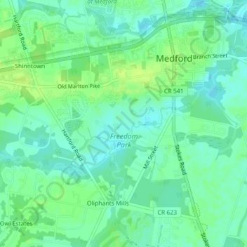
Name: Freedom Park topographic map, elevation, terrain.
Average elevation: 16 m
Minimum elevation: 9 m
Maximum elevation: 23 m
Other topographic maps
Click on a map to view its topography, its elevation and its terrain.
Shinntown
United States > New Jersey > Burlington County > Medford Township
Shinntown, Medford Township, Burlington County, New Jersey, 08055, United States
Average elevation: 17 m