
Lowton St Mary's topographic map
Interactive map
Click on the map to display elevation.
About this map
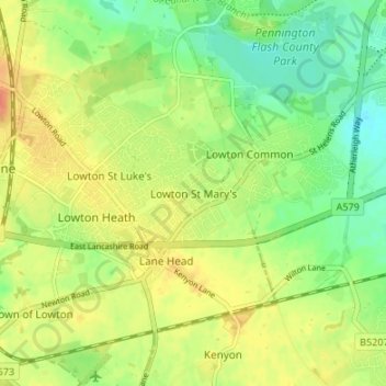
Name: Lowton St Mary's topographic map, elevation, terrain.
Average elevation: 32 m
Minimum elevation: 12 m
Maximum elevation: 52 m
Other topographic maps
Click on a map to view its topography, its elevation and its terrain.
Merseyside
United Kingdom > England > Wigan > Sefton
Merseyside, Chorley Road, Worthington, Wigan, Greater Manchester, North West England, England, WN1 2XW, United Kingdom
Average elevation: 23 m