
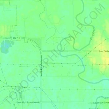
Sperry topographic map
Interactive map
Click on the map to display elevation.
About this map
Name: Sperry topographic map, elevation, terrain.
Location: Sperry, Tulsa County, Oklahoma, United States (36.27669 -96.00154 36.30749 -95.96424)
Average elevation: 188 m
Minimum elevation: 179 m
Maximum elevation: 196 m