
Thank you for supporting this site ❤️
Make a donation
Make a donation
Antouilleux topographic map
Click on the map to display elevation.
Thank you for supporting this site ❤️
Make a donation
Make a donation
About this map
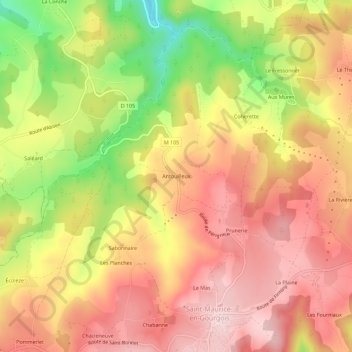
Name: Antouilleux topographic map, elevation, terrain.
Average elevation: 700 m
Minimum elevation: 547 m
Maximum elevation: 798 m
Thank you for supporting this site ❤️
Make a donation
Make a donation
Other topographic maps
Click on a map to view its topography, its elevation and its terrain.
42240
France > Auvergne-Rhône-Alpes > Loire > Saint-Maurice-en-Gourgois > La Goutte
Average elevation: 601 m