
紫阳街道 topographic map
Interactive map
Click on the map to display elevation.
About this map
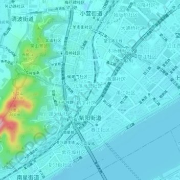
Name: 紫阳街道 topographic map, elevation, terrain.
Location: 紫阳街道, 上城区, 杭州市, 浙江省, 中国 (30.21297 120.15687 30.24061 120.19798)
Average elevation: 22 m
Minimum elevation: -2 m
Maximum elevation: 184 m
Other topographic maps
Click on a map to view its topography, its elevation and its terrain.
民国国立浙江图书馆(现大学路馆舍)
民国国立浙江图书馆(现大学路馆舍), 大学路社区, 小营街道, 上城区, 杭州市, 浙江省, 中国
Average elevation: 16 m