
测鱼镇 topographic map
Interactive map
Click on the map to display elevation.
About this map
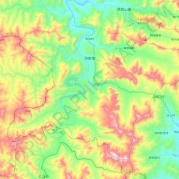
Name: 测鱼镇 topographic map, elevation, terrain.
Location: 测鱼镇, 井陉县, 石家庄市, 河北省, 中国 (37.69377 113.98307 37.83414 114.20999)
Average elevation: 696 m
Minimum elevation: 337 m
Maximum elevation: 1,247 m