
Peter topographic map
Interactive map
Click on the map to display elevation.
About this map
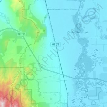
Name: Peter topographic map, elevation, terrain.
Location: Peter, Petersboro, Cache County, Utah, United States (41.71759 -112.03367 41.82500 -111.94202)
Average elevation: 1,445 m
Minimum elevation: 1,341 m
Maximum elevation: 2,173 m