
Bir El Ater topographic map
Interactive map
Click on the map to display elevation.
About this map
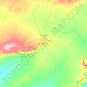
Name: Bir El Ater topographic map, elevation, terrain.
Location: Bir El Ater, daïra Bir Elater, Tébessa, 12200, Algérie (34.58419 7.89840 34.90419 8.21840)
Average elevation: 830 m
Minimum elevation: 565 m
Maximum elevation: 1,346 m