
船营区 topographic map
Interactive map
Click on the map to display elevation.
About this map
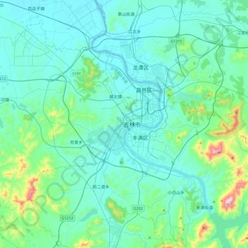
Name: 船营区 topographic map, elevation, terrain.
Location: 船营区, 德胜街道, 船营区, 吉林市, 吉林省, 132011, 中国 (43.67551 126.36927 43.99551 126.68927)
Average elevation: 263 m
Minimum elevation: 174 m
Maximum elevation: 852 m