
Leeland topographic map
Interactive map
Click on the map to display elevation.
About this map
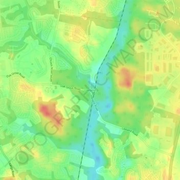
Name: Leeland topographic map, elevation, terrain.
Location: Leeland, Prince George's County, Maryland, United States (38.85400 -76.76858 38.89400 -76.72858)
Average elevation: 35 m
Minimum elevation: 11 m
Maximum elevation: 60 m