
Thank you for supporting this site ❤️
Make a donation
Make a donation
Montevideo topographic map
Click on the map to display elevation.
Thank you for supporting this site ❤️
Make a donation
Make a donation
Montevideo
The surrounding topography is dominated by farmland and prairies, as well as river valleys with many scenic overlooks and small bluffs.
Thank you for supporting this site ❤️
Make a donation
Make a donation
About this map
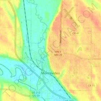
Name: Montevideo topographic map, elevation, terrain.
Location: Montevideo, Chippewa County, Minnesota, United States (44.92942 -95.74208 44.97665 -95.67996)
Average elevation: 302 m
Minimum elevation: 280 m
Maximum elevation: 323 m
Thank you for supporting this site ❤️
Make a donation
Make a donation