
Thank you for supporting this site ❤️
Make a donation
Make a donation
Tembilahan topographic map
Click on the map to display elevation.
Thank you for supporting this site ❤️
Make a donation
Make a donation
Tembilahan
The soil conditions of the area is mostly composed of peat soil and stream sediment and marshes. The altitude of the District's Government's Centre is from 1 to 4 metres. On the banks of the rivers and in the estuaries trenches there are many plants that grow, such as Nipah trees.
Thank you for supporting this site ❤️
Make a donation
Make a donation
About this map
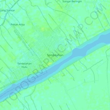
Name: Tembilahan topographic map, elevation, terrain.
Location: Tembilahan, Indragiri Hilir, Riau, Sumatra, 29281, Indonesia (-0.36147 103.12175 -0.28147 103.20175)
Average elevation: 4 m
Minimum elevation: 0 m
Maximum elevation: 8 m
Thank you for supporting this site ❤️
Make a donation
Make a donation
Other topographic maps
Click on a map to view its topography, its elevation and its terrain.