
Les Grands Billons topographic map
Interactive map
Click on the map to display elevation.
About this map
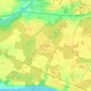
Name: Les Grands Billons topographic map, elevation, terrain.
Average elevation: 113 m
Minimum elevation: 94 m
Maximum elevation: 120 m
Other topographic maps
Click on a map to view its topography, its elevation and its terrain.
Bel-Air
France > Centre-Val de Loire > Loiret > Donnery
Bel-Air, Donnery, Orléans, Loiret, Centre-Val de Loire, France métropolitaine, 45450, France
Average elevation: 112 m