
Bektaş Yaylası topographic map
Interactive map
Click on the map to display elevation.
About this map
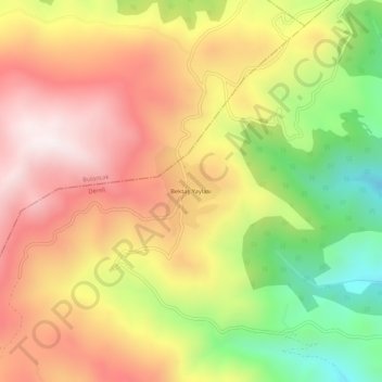
Name: Bektaş Yaylası topographic map, elevation, terrain.
Location: Bektaş Yaylası, Dereli, Giresun, Black Sea Region, Türkiye (40.62963 38.22282 40.66963 38.26282)
Average elevation: 1,974 m
Minimum elevation: 1,485 m
Maximum elevation: 2,382 m