
Thank you for supporting this site ❤️
Make a donation
Make a donation
Cerdeira topographic map
Click on the map to display elevation.
Thank you for supporting this site ❤️
Make a donation
Make a donation
About this map
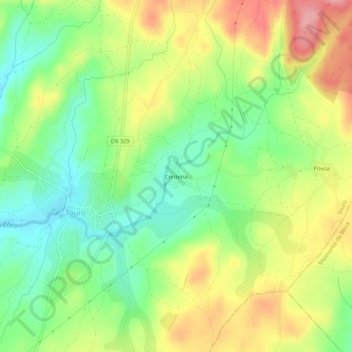
Name: Cerdeira topographic map, elevation, terrain.
Location: Cerdeira, Touro, Vila Nova de Paiva, Viseu, 3650-081, Portugal (40.87943 -7.75270 40.91943 -7.71270)
Average elevation: 835 m
Minimum elevation: 781 m
Maximum elevation: 904 m
Thank you for supporting this site ❤️
Make a donation
Make a donation