
Sohier topographic map
Interactive map
Click on the map to display elevation.
About this map
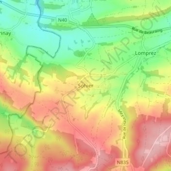
Name: Sohier topographic map, elevation, terrain.
Location: Sohier, Wellin, Neufchâteau, Luxemburg, Wallonië, 6920, België (50.04859 5.05025 50.08859 5.09025)
Average elevation: 293 m
Minimum elevation: 208 m
Maximum elevation: 382 m
Other topographic maps
Click on a map to view its topography, its elevation and its terrain.