
肖家老湾 topographic map
Interactive map
Click on the map to display elevation.
About this map
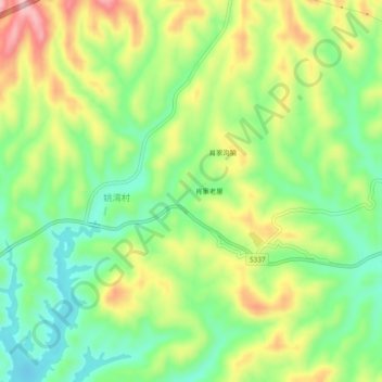
Name: 肖家老湾 topographic map, elevation, terrain.
Location: 肖家老湾, 姚湾村, 丹江口市, 十堰市, 湖北省, 中国 (32.61959 111.36347 32.65959 111.40347)
Average elevation: 219 m
Minimum elevation: 139 m
Maximum elevation: 332 m