
Love County topographic map
Interactive map
Click on the map to display elevation.
About this map
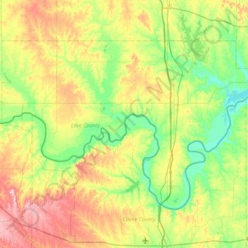
Name: Love County topographic map, elevation, terrain.
Location: Love County, Oklahoma, USA (33.71781 -97.56066 34.07495 -96.93575)
Average elevation: 258 m
Minimum elevation: 185 m
Maximum elevation: 397 m
Other topographic maps
Click on a map to view its topography, its elevation and its terrain.