
邹家冲 奇峰村二村 topographic map
Interactive map
Click on the map to display elevation.
About this map
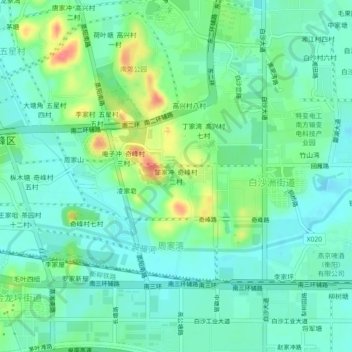
Name: 邹家冲 奇峰村二村 topographic map, elevation, terrain.
Location: 邹家冲 奇峰村二村, 雁峰区, 衡阳市, 湖南省, 中国 (26.82000 112.61237 26.86000 112.65237)
Average elevation: 69 m
Minimum elevation: 50 m
Maximum elevation: 115 m
Other topographic maps
Click on a map to view its topography, its elevation and its terrain.