
Heavener topographic map
Interactive map
Click on the map to display elevation.
About this map
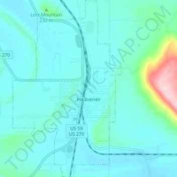
Name: Heavener topographic map, elevation, terrain.
Location: Heavener, Le Flore County, Oklahoma, 74937, United States (34.86587 -94.62872 34.91905 -94.58888)
Average elevation: 193 m
Minimum elevation: 157 m
Maximum elevation: 430 m
Other topographic maps
Click on a map to view its topography, its elevation and its terrain.
Talimena State Park
United States > Oklahoma > Le Flore County
Talimena State Park, Le Flore County, Oklahoma, United States
Average elevation: 345 m
Poteau
United States > Oklahoma > Le Flore County
Poteau, Le Flore County, Oklahoma, 74953, United States
Average elevation: 189 m