
Thank you for supporting this site ❤️
Make a donation
Make a donation
Jane topographic map
Click on the map to display elevation.
Thank you for supporting this site ❤️
Make a donation
Make a donation
About this map
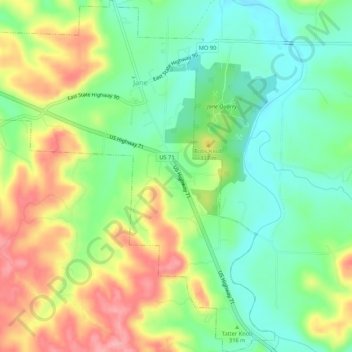
Name: Jane topographic map, elevation, terrain.
Location: Jane, McDonald County, Missouri, United States (36.51427 -94.33724 36.55726 -94.28475)
Average elevation: 321 m
Minimum elevation: 277 m
Maximum elevation: 383 m
Thank you for supporting this site ❤️
Make a donation
Make a donation